
 Image 1 of 4
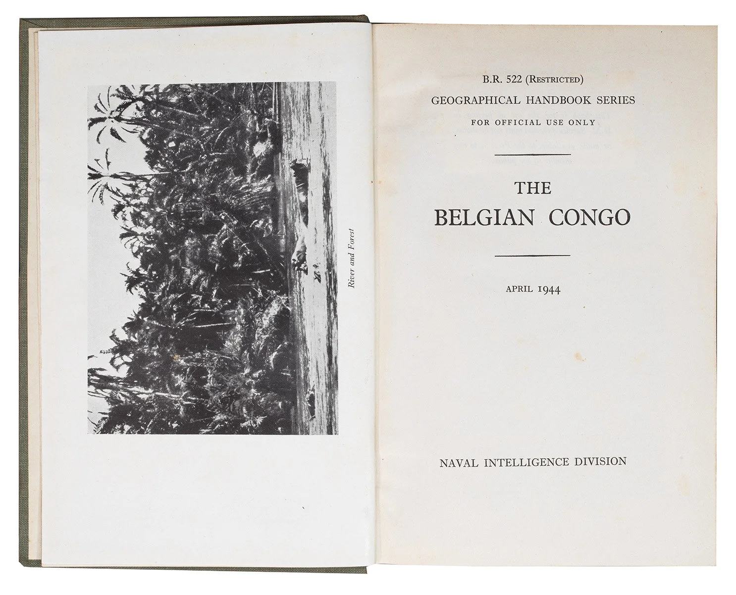 Image 2 of 4
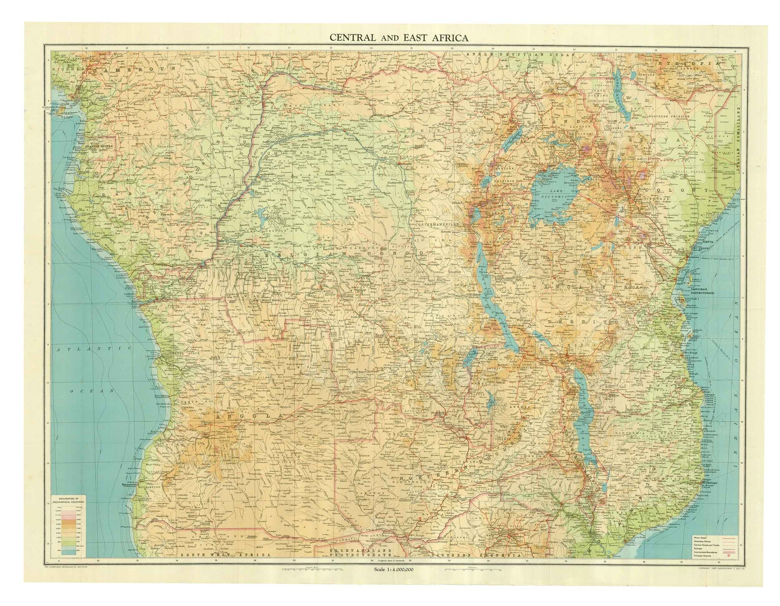 Image 3 of 4
 Image 4 of 4
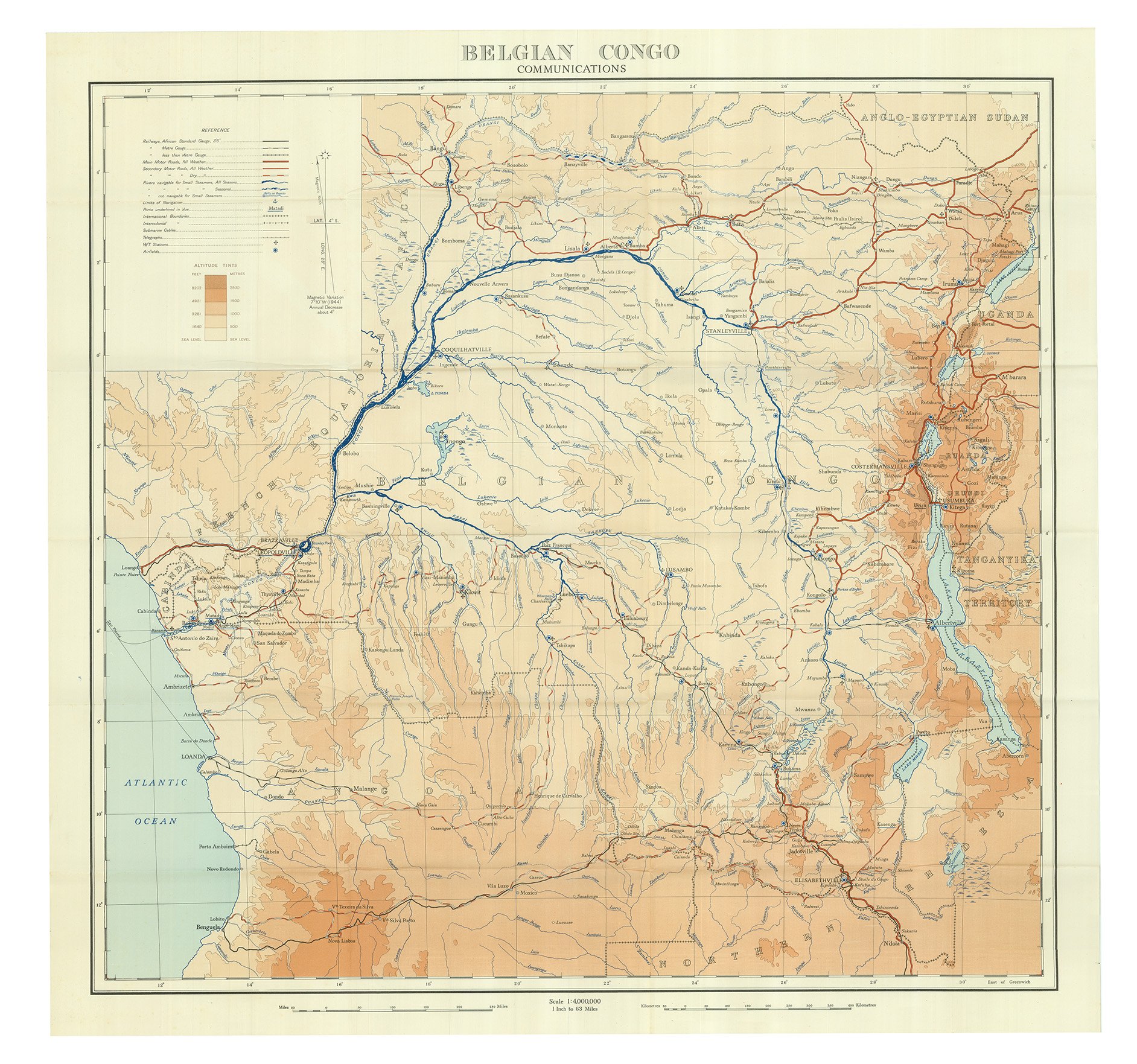
Octavo (215 x 138mm). xiii, [1 (blank)], 558 pp., 91 maps and diagrams including folding geological map, frontispiece and 105 plates, two large folding maps in pocket at end. Original light-grey cloth gilt (spine spotted, extremities lightly rubbed).
Provenance: Andover Boys’ Secondary School (stamps on front pastedown).