
 Image 1 of 4
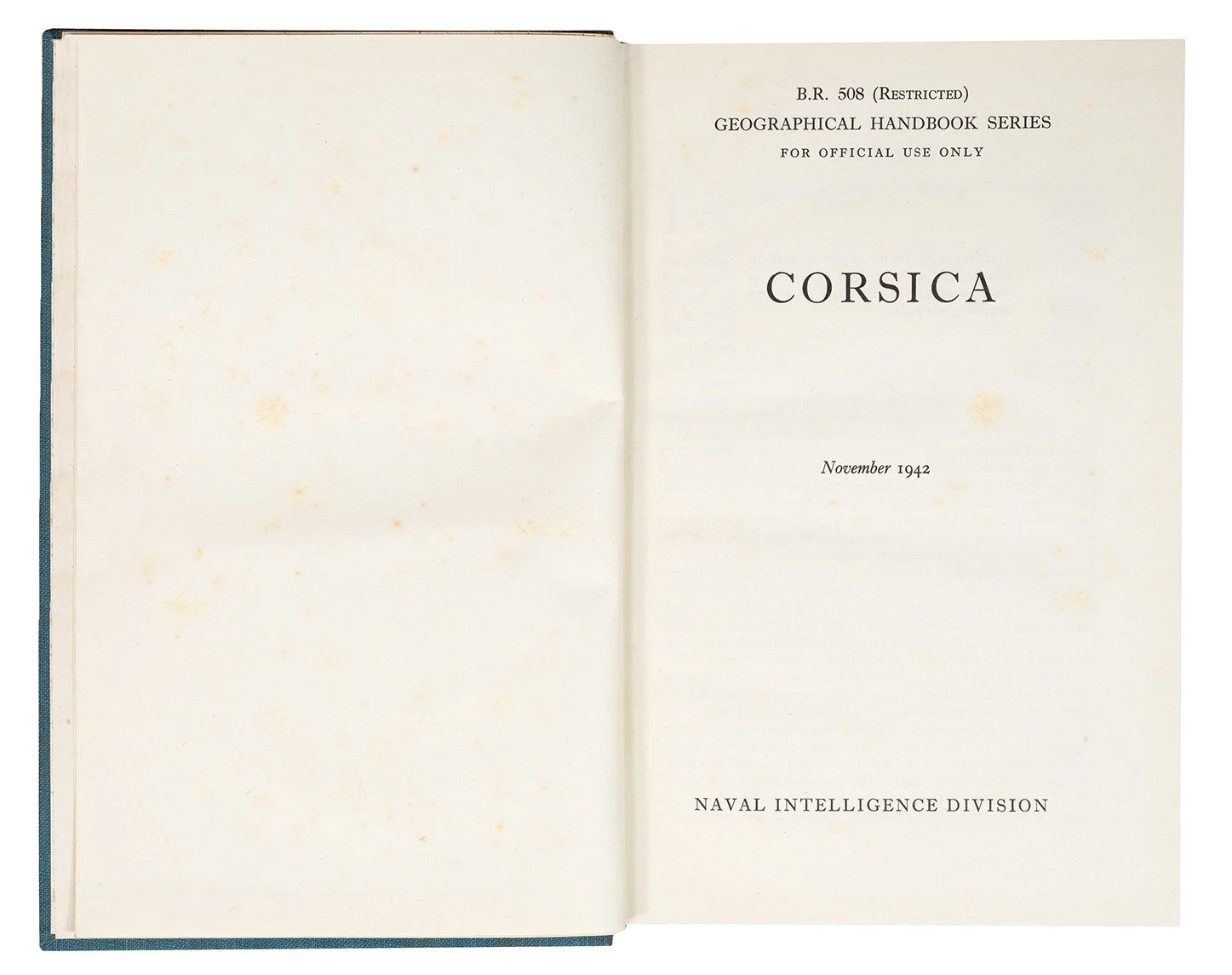 Image 2 of 4
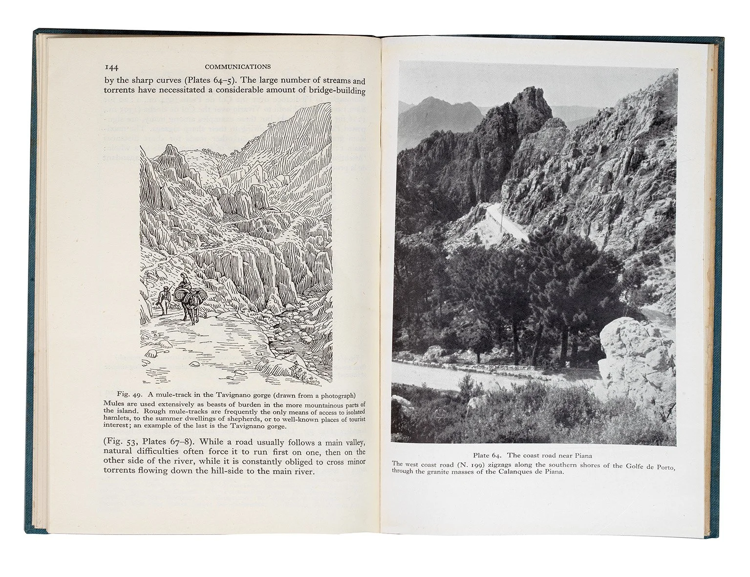 Image 3 of 4
 Image 4 of 4
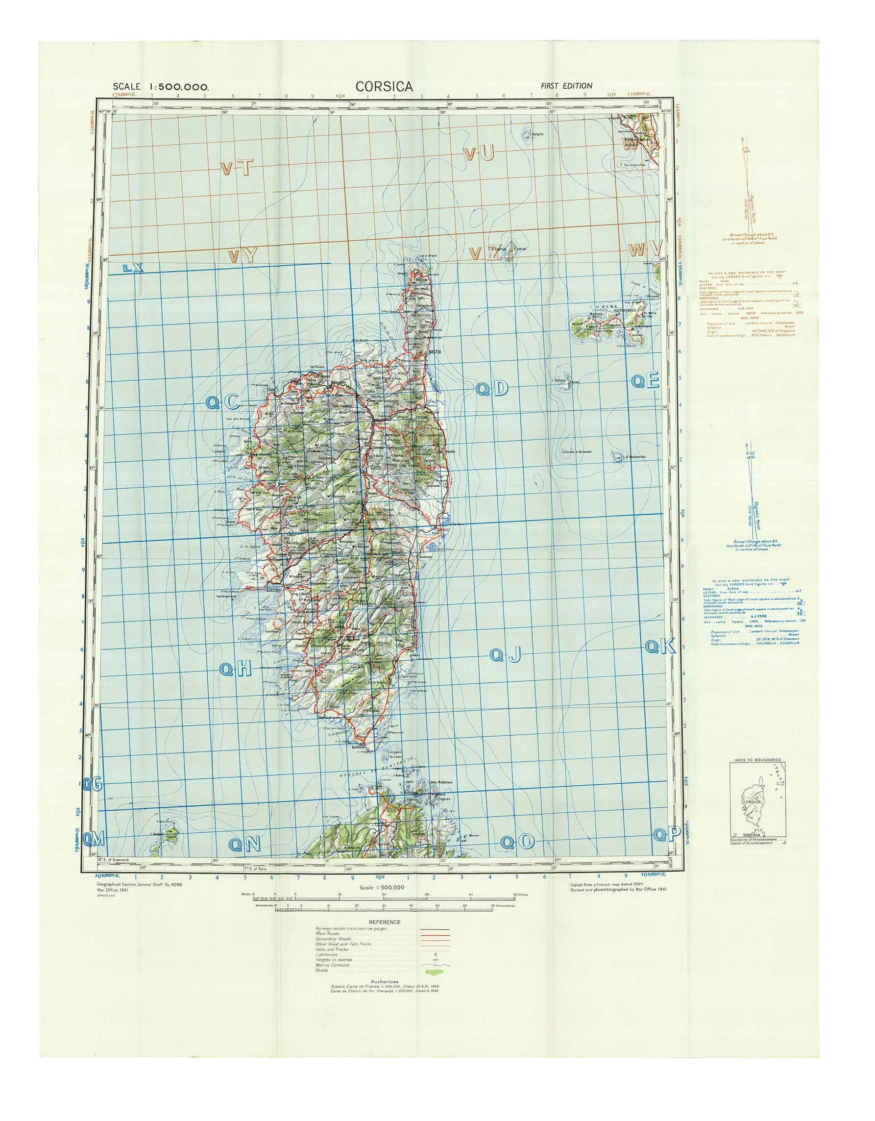
Octavo (215 x 138mm). x, 246 pp., 64 maps and diagrams, 86 plates, large folding map in pocket at end. (Slight cracking of textblock between pp.ii-iii.) Original blue cloth gilt (spine faded, extremities faintly rubbed).
Provenance: Andover Boys’ Secondary School (stamps on front pastedown).