
 Image 1 of 2
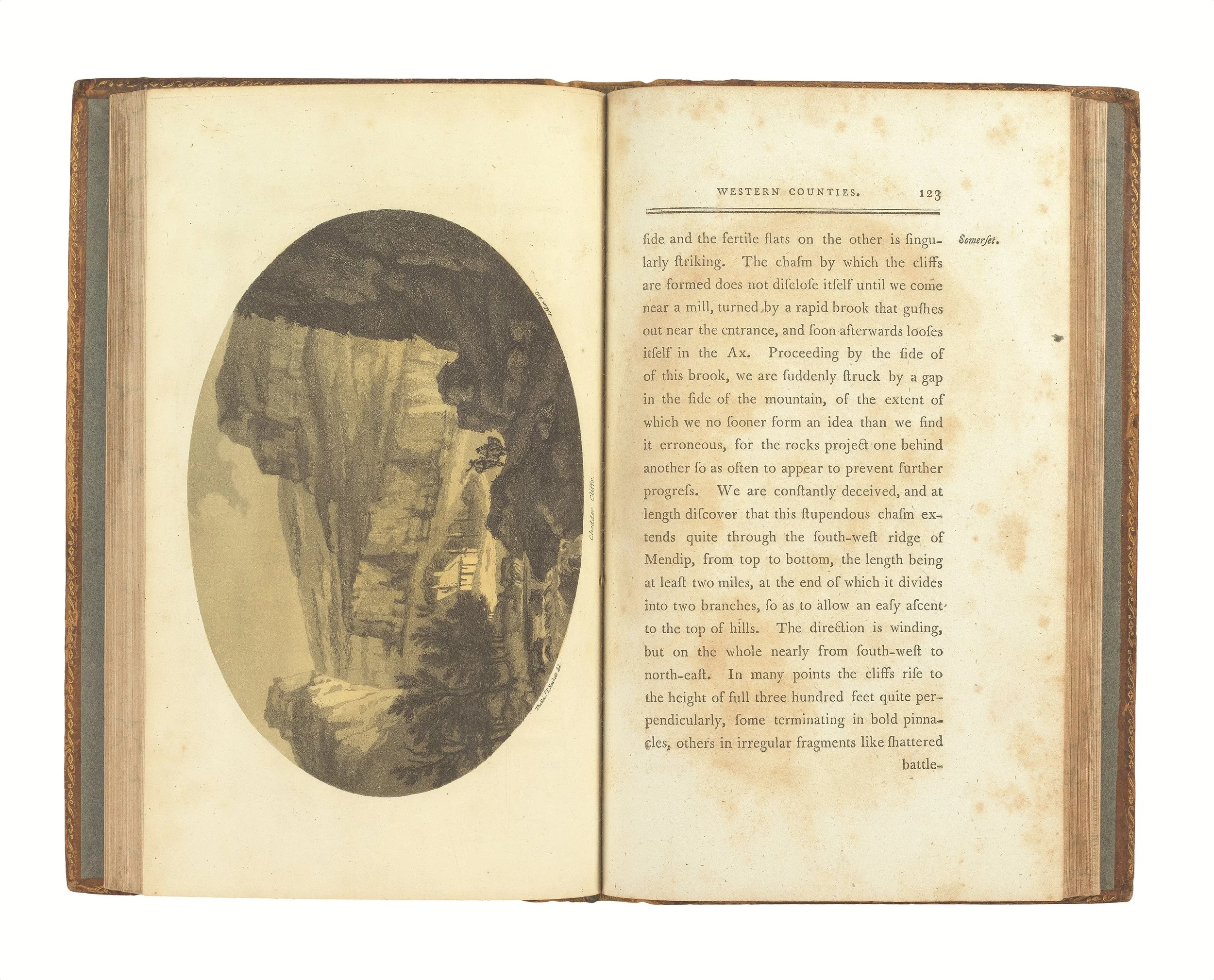 Image 2 of 2
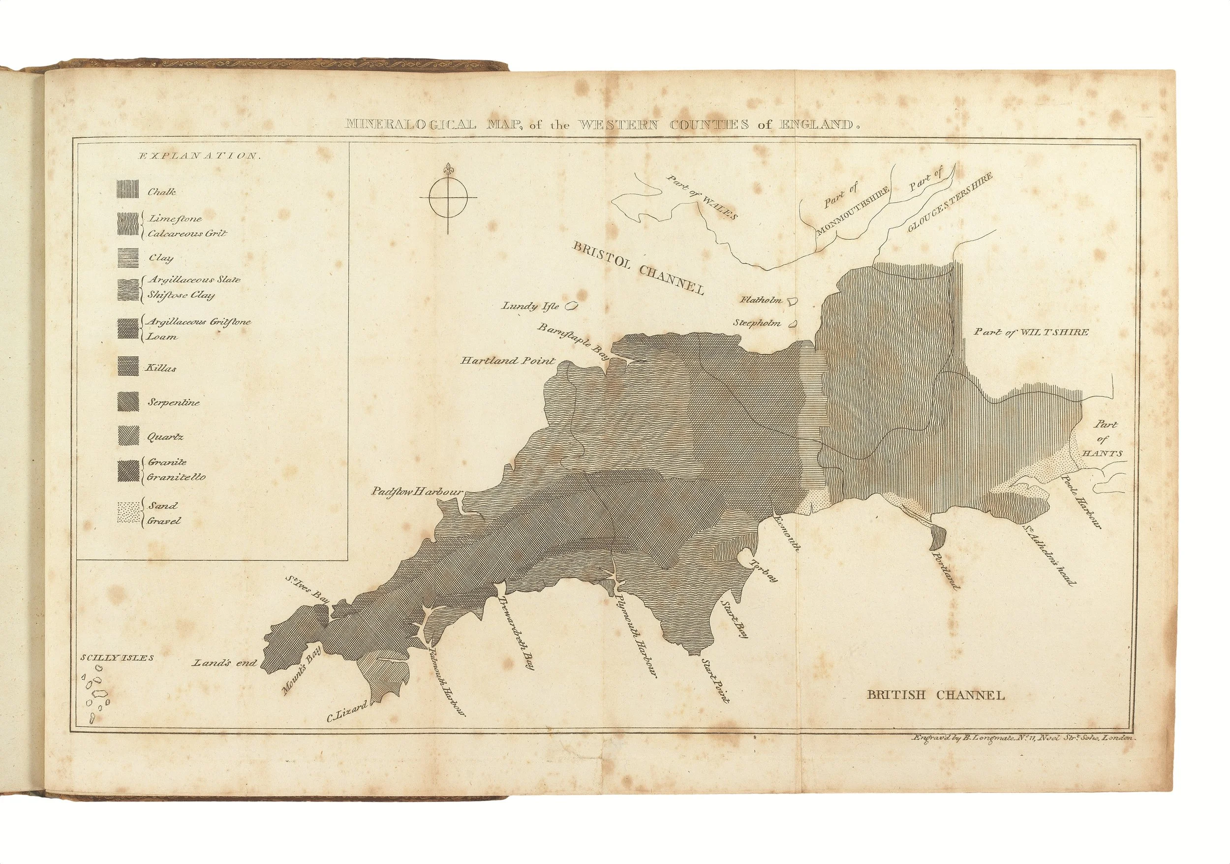
Observations relative chiefly to the natural history, picturesque scenery and antiquities of the western counties of England, made in the years 1794 and 1796. Illustrated by a mineralogical map, and sixteen views in aquatinta by Alken. Salisbury: printed and sold by J. Easton, 1797.
'The first "regional geology" of any large part of the country' (Challinor p.79). Maton, son of a Salisbury wine merchant, entered Queen’s College, Oxford, in 1790. There, he developed a strong interest in botany under John Sibthorp. He became a fellow of the Linnean Society, and with the encouragement of Sir Joseph Banks, made two tours of Somerset, Dorset, Devon and Cornwall in 1794 and 1796. Not only did Maton compile topographical and antiquarian notes of interest, but he was also engaged in making geological observations. From these, he compiled his 'Mineralogical Map'.
Maton’s biographer claimed in 1838 that his map was 'the first attempt in England to construct a geological map' (Paris, p.16), but today it is generally interpreted as either the second or third published attempt at a geological mapping of a part of the British Isles. Some consider Christopher Packe’s A new philosophico-chorographical chart of East-Kent (Canterbury, 1743) to be the genuine first map of its type (and it clear that William Smith clearly had Packe's map in mind when he was publishing his great map, see Eyles 1985 p.42, quoting a letter by Farey), while others make the claim for the map contained in John Boy's General view of the agriculture of the county of Kent, with observations on the means of its improvement (Brentford, 1794).
While Challinor is dismissive of Maton’s achievement ('His attempt to organise it as a whole in a geological map was not successful'), others have held it in high esteem: 'The two volumes provided an early prelude to the great work, in the same area, of Henry Thomas De la Beche' (Boud, p.81).
There is no doubt that Maton's map is an important development since his use of engraved lines of shading and hachure (in the words of Paris, ‘linear forms of ornamentation’) allows one to see 'whether [the rocks] be insulated, as it were, and terminate abruptly, or connect themselves by a participation of the same substance in their composition' (II, p.204).
R.C. Boud, ‘The Early Development of British Geological Maps' in Imago Mundi 27, (1975), pp.73-96; Challinor 49;
J. A. Paris, A biographical sketch of the late William George Maton, M.D. (London, 1838). ESTC T100563.
2 volumes, octavo (216 x 130mm). I: pp. [iii-]xi (title, dedication preface), [1 (blank)], 336; II: [2 (title)], 216, [16 (index)], [1 (errata)]. Folding engraved mineralogical map, 16 aquatint views by Alken, in Gilpin style. (Possibly lacking half-titles [although there is no collation given in ESTC, Harvard allows for a half-title in vol. I only, but not in vol. II], lacking final leaf of directions for placing plates in vol. II, occasional variable scattered spotting, map affected slightly more heavily, a few plates with faint creasing to extremities.) Contemporary calf (rebacked, preserving original spines, rubbed).
Provenance: J.W. Long (contemporary ink ownership inscription on both titles) – Geoffrey Walton (bookplates).