
 Image 1 of 2
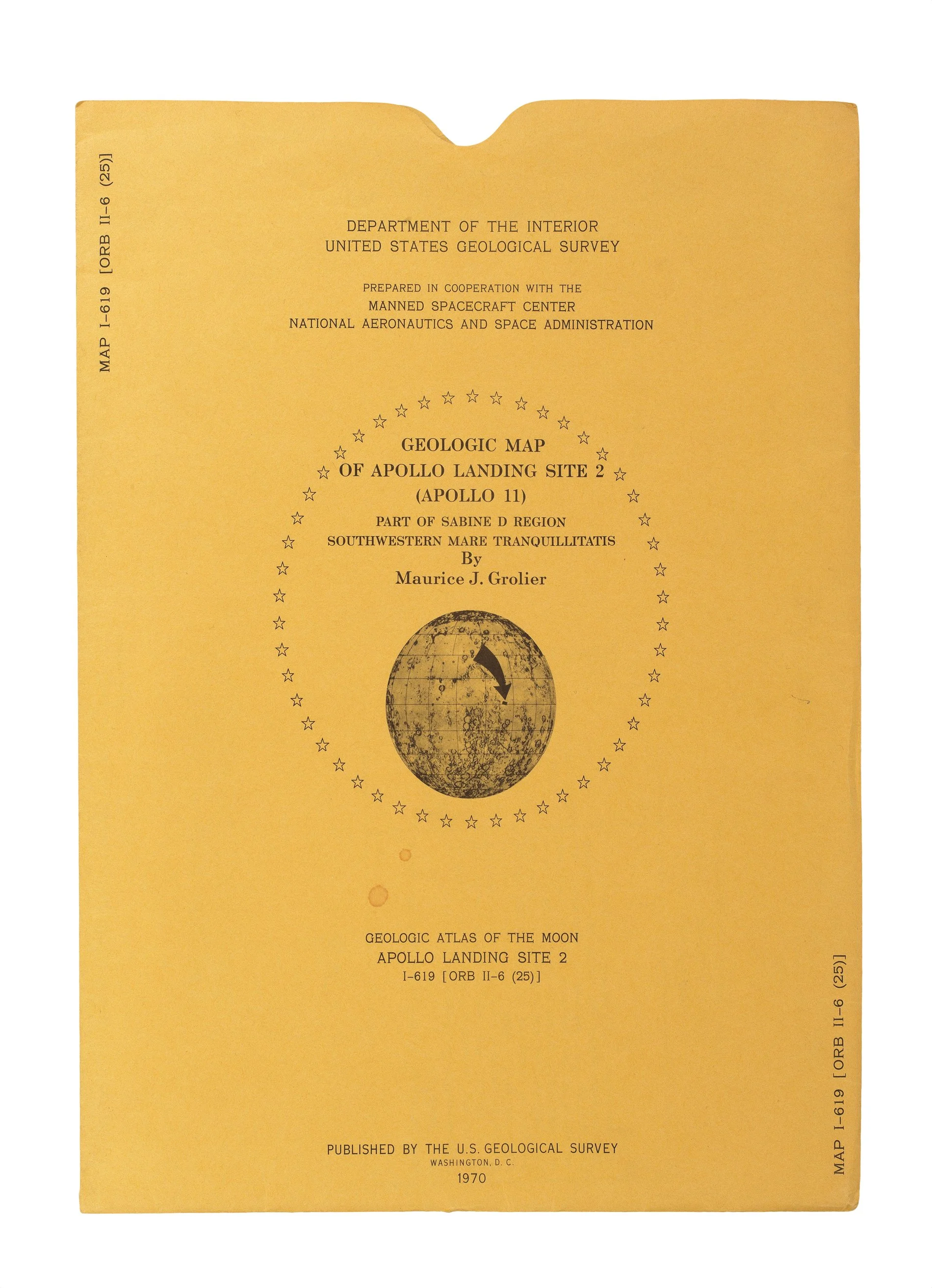 Image 2 of 2
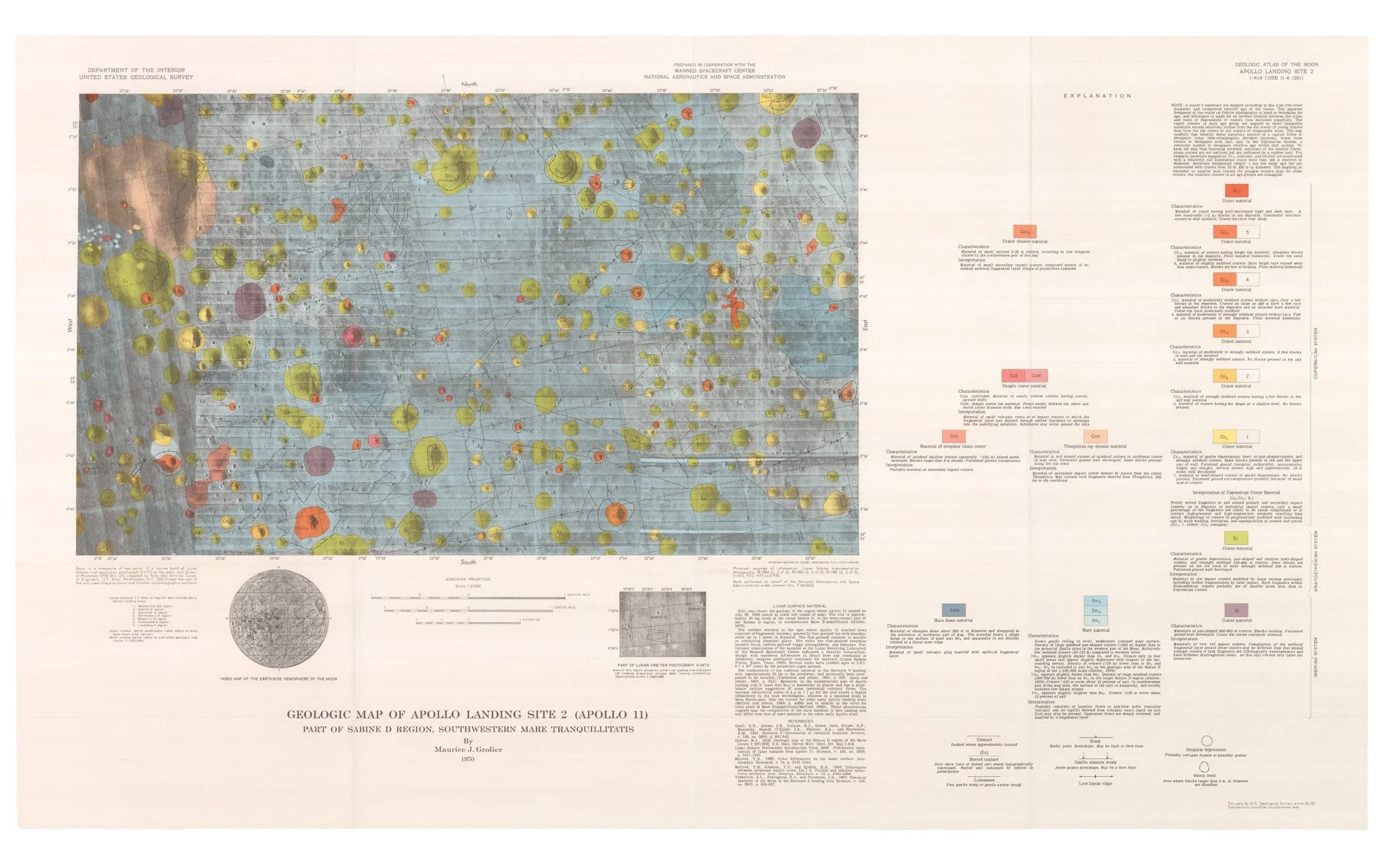
Large folding chromolithographic map (607 x 1035mm) on the Mercator Projection at a scale of 1:25,000 showing the position of Tranquility Base where Apollo 11 landed on 20 July 1969 in south-western area of geological map measuring 353 x 595mm with coloured key to right-hand side and explanatory notes below with inset index map of the Earthside Hemisphere of the Moon and part of the Lunar Orbiter photograph V-M73; with accompanying 4pp. bifolium of explanatory text; contained within original buff printed paper sleeve with map index number ‘I-619 [ORB II-6 (25)]’. (The map in fine condition; explanatory text with marginal pin holes at corners; sleeve with two tiny insignificant spots on upper cover, two pinholes at head on verso, and extremities faintly creased.)